- DSpace Home
- →
- Channel Islands
- →
- Academic Affairs
- →
- Faculty Scholarly and Creative Activities
- →
- LaBonte, Kristen
JavaScript is disabled for your browser. Some features of this site may not work without it.
| dc.contributor.author | LaBonte, Kristen | en |
| dc.contributor.author | LaBonte, Kristen | en |
| dc.date.accessioned | 2011-06-07T22:12:11Z | en |
| dc.date.accessioned | 2011-06-07T22:12:11Z | en |
| dc.date.available | 2011-06-07T22:12:11Z | en |
| dc.date.available | 2011-06-07T22:12:11Z | en |
| dc.date.issued | 2011-06-07 | en |
| dc.date.issued | 2011-06-07 | en |
| dc.identifier.uri | http://hdl.handle.net/10139/4031 | en |
| dc.identifier.uri | http://hdl.handle.net/10139/4031 | en |
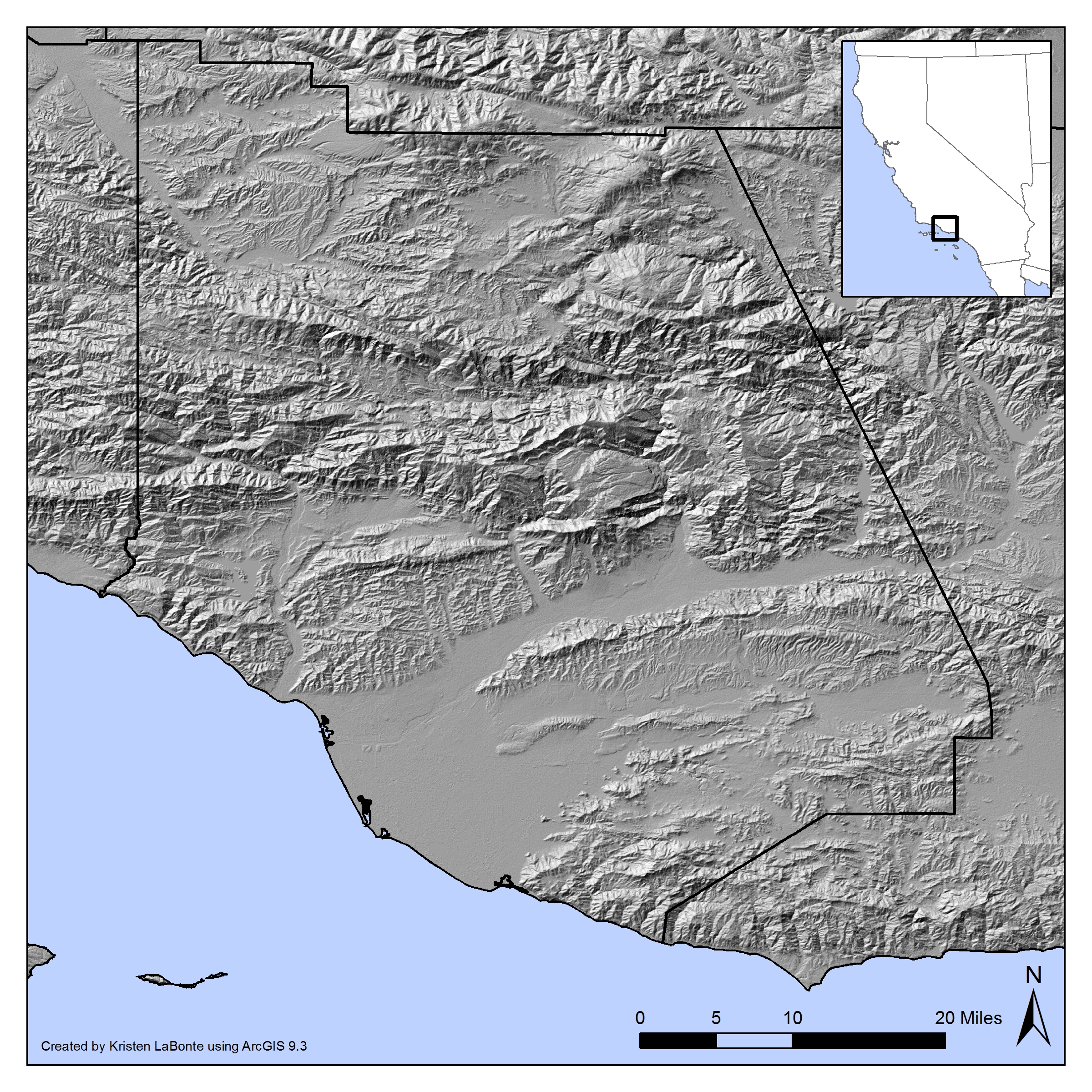
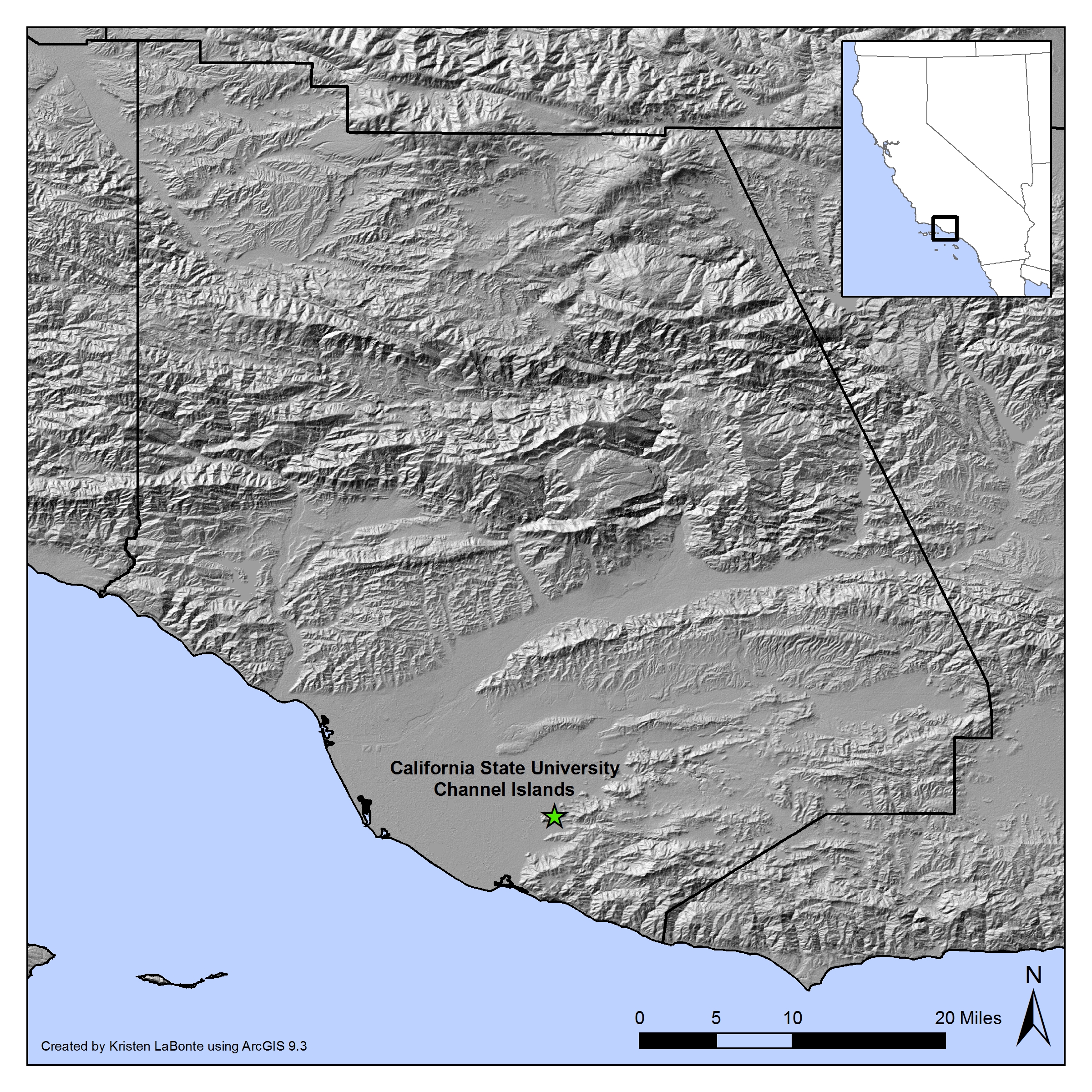
| dc.description | The map was created by Kristen LaBonte using ESRI's ArcGIS 9.3 with data generously provided by the United States Geologic Survey. Null Data Cells in the SRTM DEM were filled using the focalmean function. | en |
| dc.description | The map was created by Kristen LaBonte using ESRI's ArcGIS 9.3 with data generously provided by the United States Geologic Survey. Null Data Cells in the SRTM DEM were filled using the focalmean function. | en |
| dc.language.iso | en_US | en |
| dc.language.iso | en_US | en |
| dc.rights | All rights reserved by copyright holder. | en |
| dc.rights | All rights reserved by copyright holder. | en |
| dc.subject | DEM | en |
| dc.subject | digital elevation model | en |
| dc.subject | GIS | en |
| dc.subject | Geographic Information Systems | en |
| dc.subject | DEM | en |
| dc.subject | digital elevation model | en |
| dc.subject | GIS | en |
| dc.subject | Geographic Information Systems | en |
| dc.title | Map of Ventura County | en |
| dc.title | Map of Ventura County | en |
| dc.type | Map | en |
| dc.type | Map | en |
Files in this item


The following license files are associated with this item:
This item appears in the following Collection(s)
-
LaBonte, Kristen [8]